Log in
All resources
Create a design
1,095,865 Free Images of Maps Of Chaldea
charts and maps of the royal museums greenwich
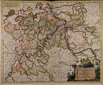
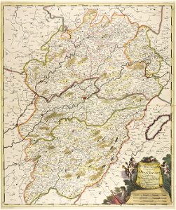
maps made in the 17th century
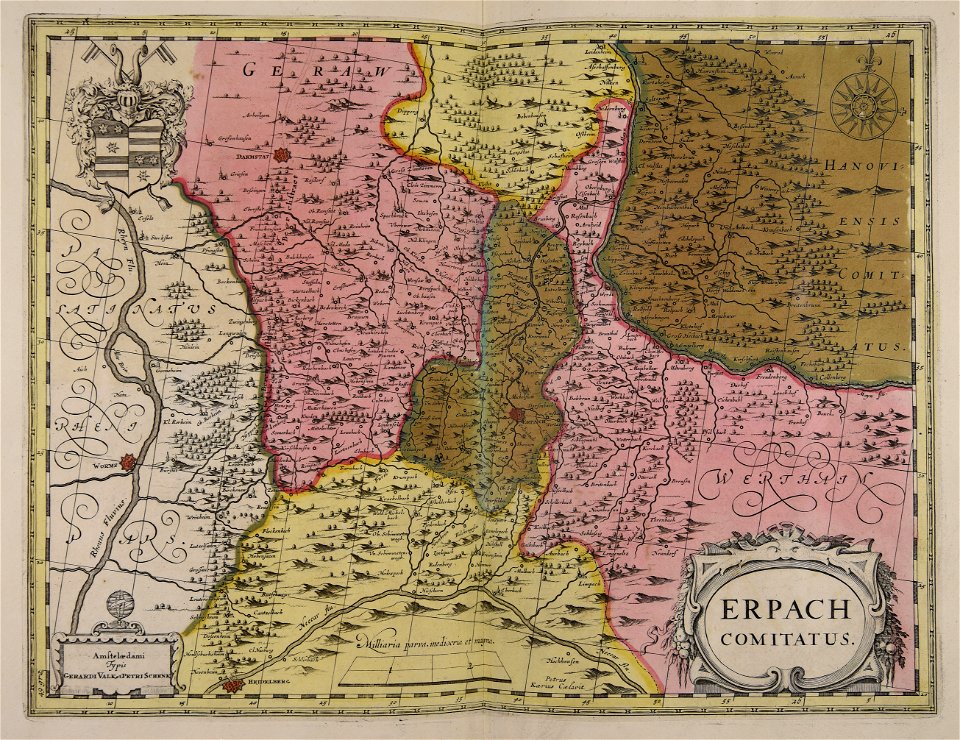
gerard valck
atlantis magni tomus tertius (biblioteca comunale di trento)
maps made in the 18th century
atlantis magni tomus quartus (biblioteca comunale di trento)
maps with cartouches
atlas van der hagen
description de l'universe
maps by pieter schenk (i)
engravings by matthäus merian
old maps of blokzijl
charts and maps of the royal museums greenwich
charts and maps of the royal museums greenwich
charts and maps of the royal museums greenwich
charts and maps of the royal museums greenwich
charts and maps of the royal museums greenwich
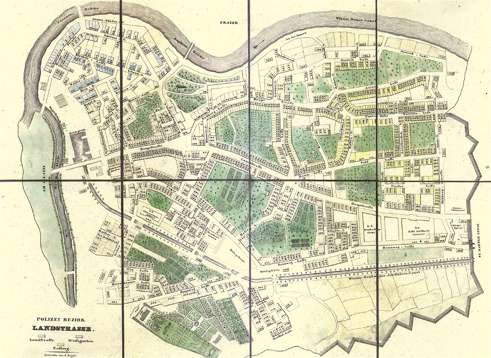
old maps of landstraße (vienna)
carl graf vasquez
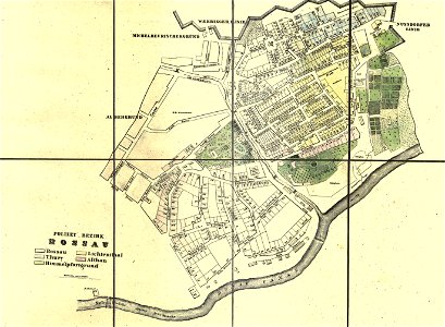
old maps of alsergrund
carl graf vasquez
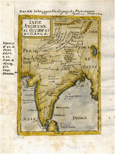
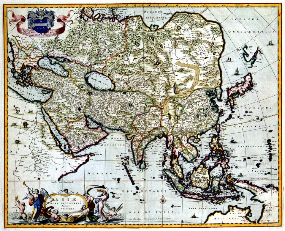
17th-century maps of india
description de l'universe
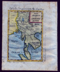
old maps of southeast asia
description de l'universe
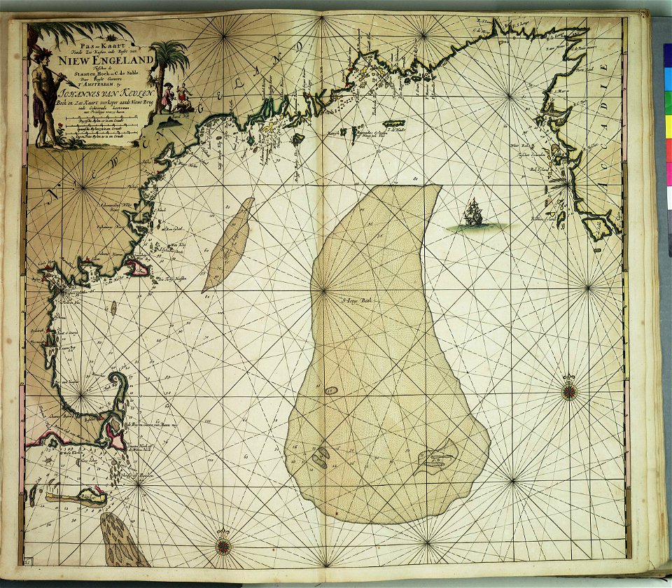
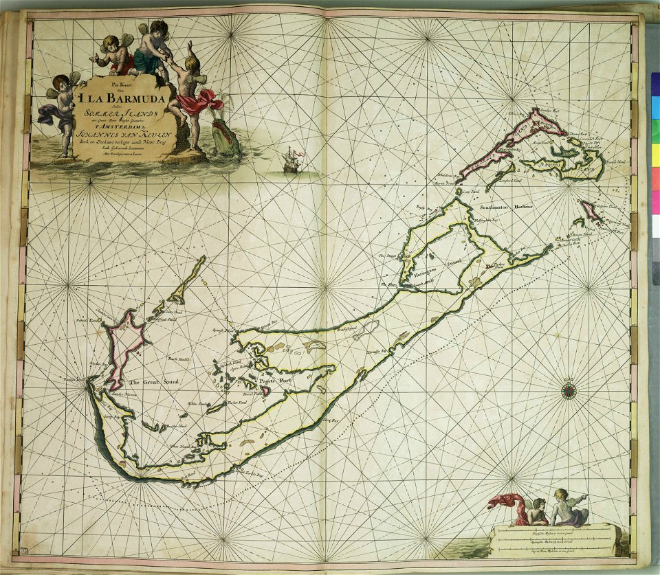
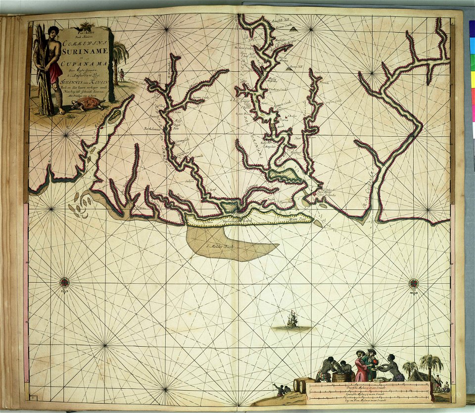
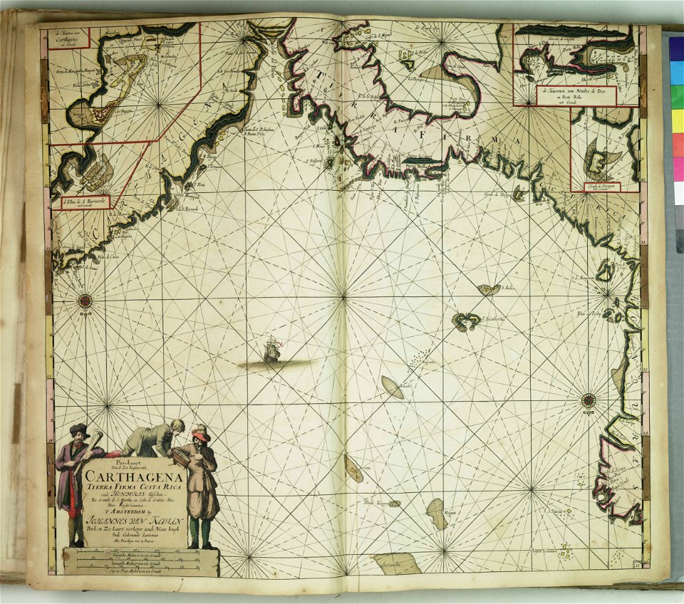
johannes van keulen
zuiderzeemuseum
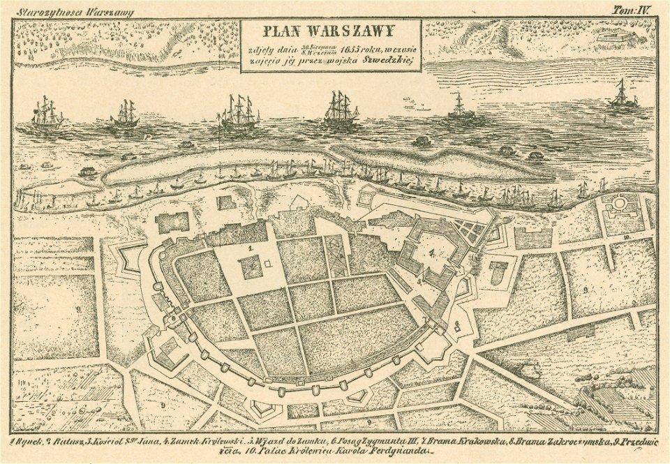
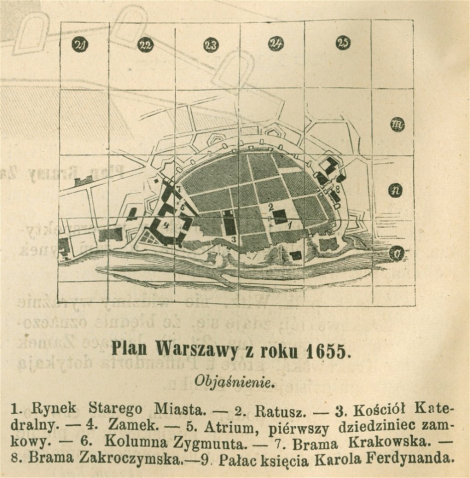
historical maps of warsaw
warsaw in the 1650s
historical maps of warsaw
warsaw in the 1650s
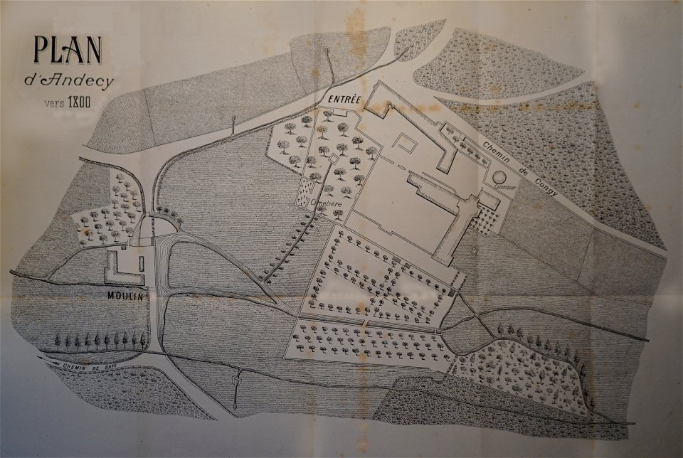
abbaye d'andecy
1890 in marne
charts and maps of the royal museums greenwich
charts and maps of the royal museums greenwich
charts and maps of the royal museums greenwich
old maps of galicia (spain)
johannes van keulen
charts and maps of the royal museums greenwich
charts and maps of the royal museums greenwich
charts and maps of the royal museums greenwich
charts and maps of the royal museums greenwich
charts and maps of the royal museums greenwich
charts and maps of the royal museums greenwich
charts and maps of the royal museums greenwich
charts and maps of the royal museums greenwich
charts and maps of the royal museums greenwich
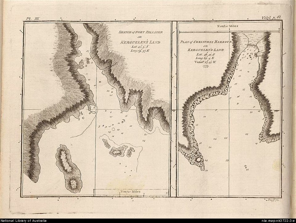
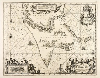
old maps of the kerguelen islands
port-christmas
description des principales villes (1690)
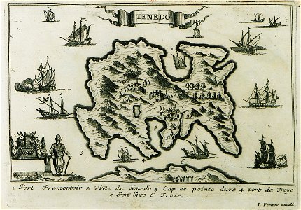
maps of bozcaada
charts and maps of the royal museums greenwich
charts and maps of the royal museums greenwich
charts and maps of the royal museums greenwich
charts and maps of the royal museums greenwich
charts and maps of the royal museums greenwich
provided by landsbókasafn íslands
old maps of iceland
charts and maps of the royal museums greenwich
description de l'universe
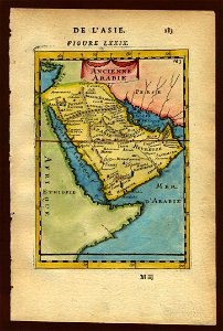
old maps of saudi arabia
description de l'universe
old maps of sri lanka
geographical illustrations by coronelli
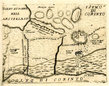
maps of ancient corinth
description de l'universe
old maps of saudi arabia
maps from the mechanical curator collection available to georeference
maps from the mechanical curator collection
caricatures of wilhelm ii of germany
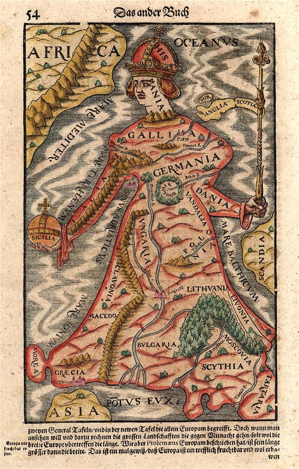
19th-century maps of europe
old maps of florida
madrid
portrait photographs of franz joseph i of austria-hungary
franz joseph i of austria in 1892
maps made in the 17th century
gerard valck
maps made in the 17th century
gerard valck
nicholas ii with family in photographs
prince carl of denmark in 1889
romanovs. portrait of dynasty (2013 exhibition, gim)
photographs in the moscow state historical museum
batalla de ayacucho by martín tovar y tovar
history of spain
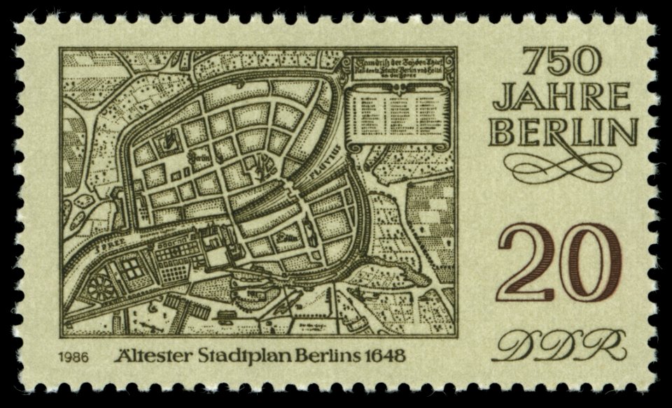
maps of the history of berlin
17th-century maps of berlin
portrait paintings by joseph vivien (house of wittelsbach)
17th-century portrait paintings in the alte pinakothek
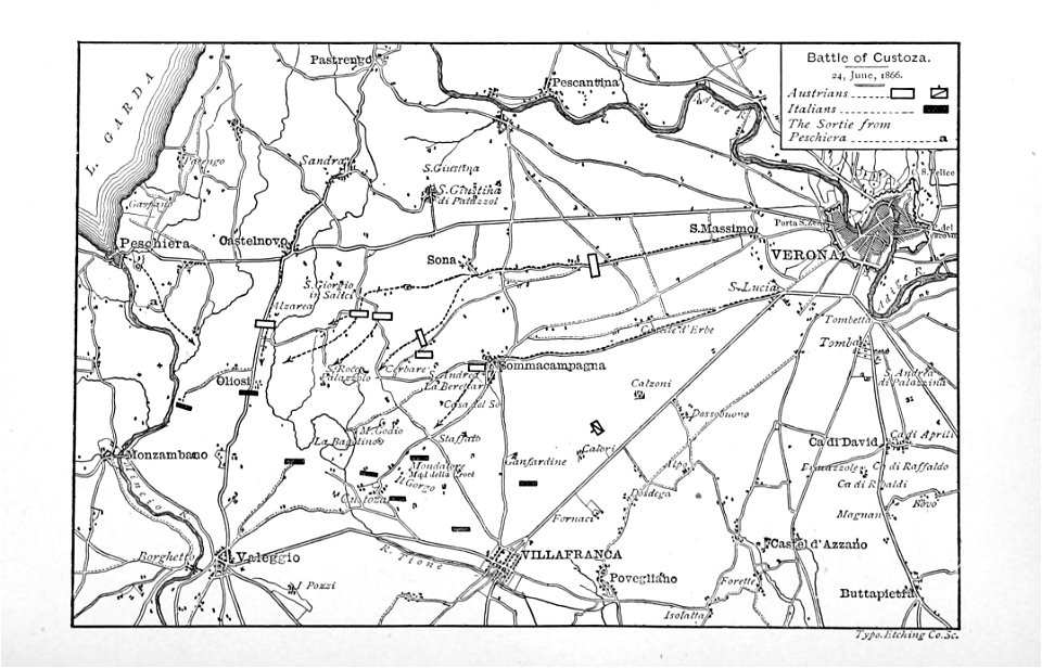
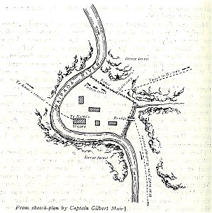
military history of new zealand
maps of battles
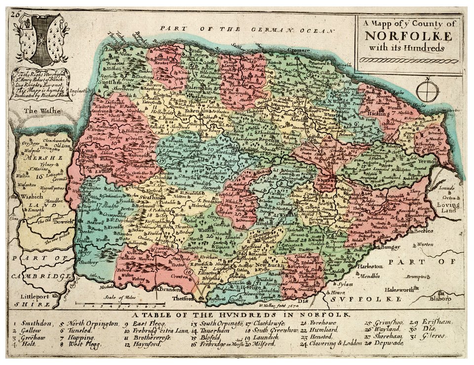
history of norfolk
england
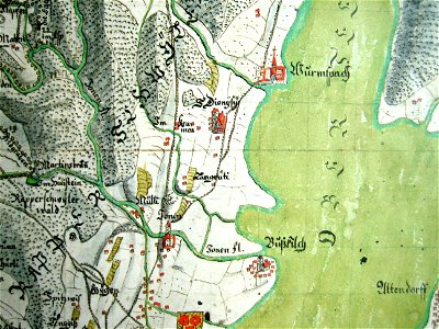
mariazell wurmsbach abbey
gygerkarte
portraits of marshals of the empire (series commissioned by napoleon i)
1807 paintings in versailles
cartography
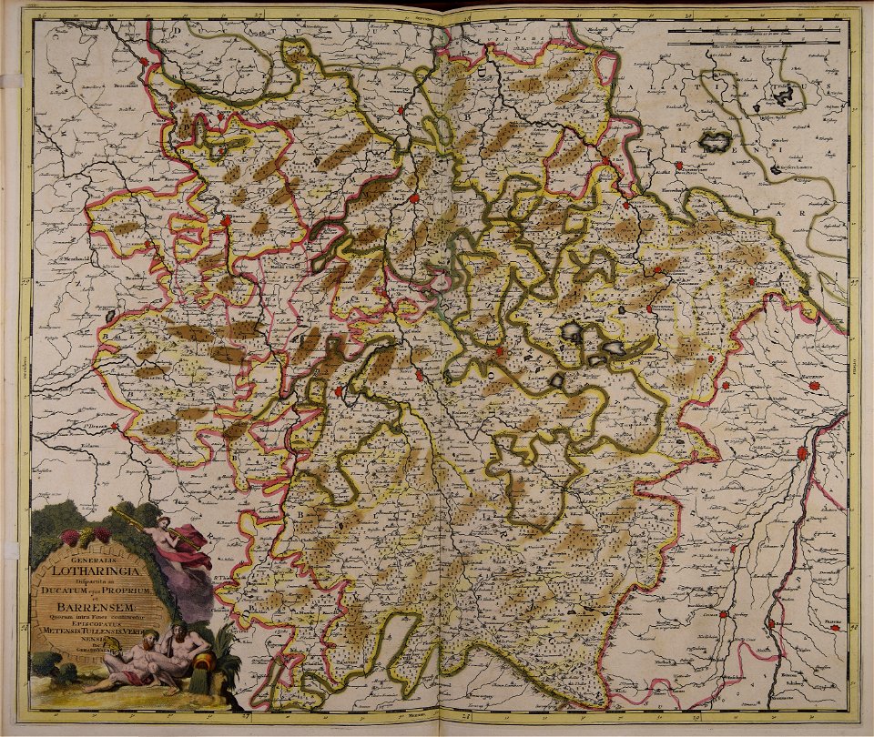
bohemia
cornelis danckerts (i)
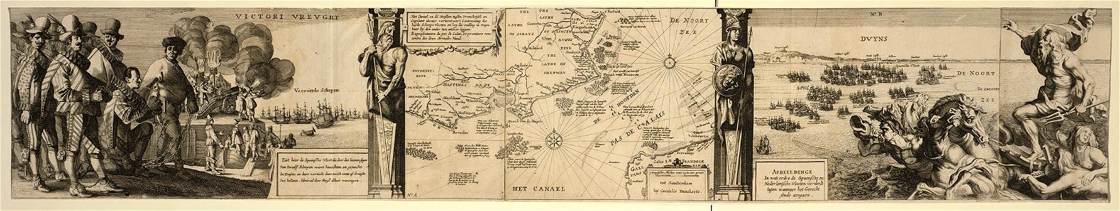
battle of the downs
immaculate conception
granduke madonna
16th-century portrait paintings in the frederiksborg museum
jakob binck
collection of independence national historical park
james sharples
american paintings in the metropolitan museum of art
united states in the 1790s
maps made in the 17th century
cornelis danckerts (ii)
sala del mappamondo (palazzo vecchio)
ignazio danti
georg balthasar probst (1732-1801)
historical views of paris
mobile river
alabama
maps of the byzantine empire
maps of anatolia
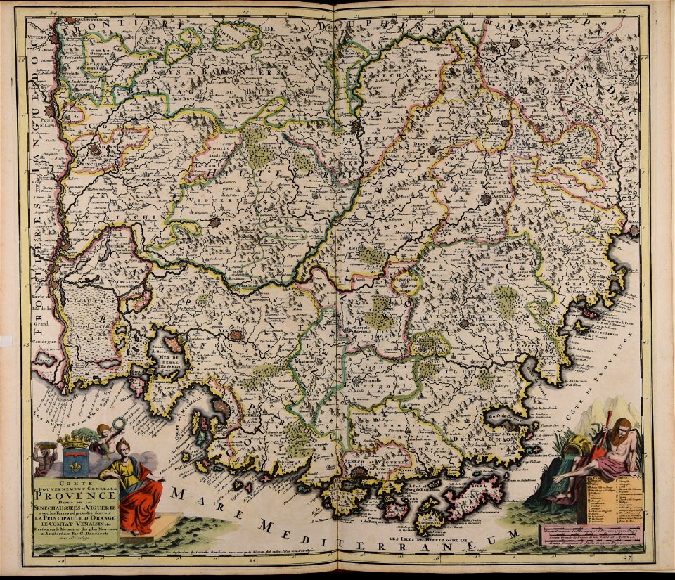
17th-century maps of france
maps with cartouches
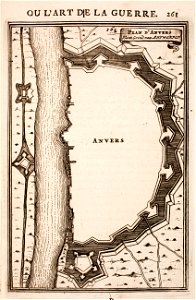
maps of antwerp city walls
old maps of antwerp
old maps of north brabant
old maps of south holland
old maps of south holland
merwede
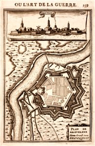
prints from manesson travaux de mars at the peace palace library
fortifications in france
maps made in the 18th century
gerard valck
maps made in the 18th century
johann baptist homann
maps made in the 18th century
gerard valck
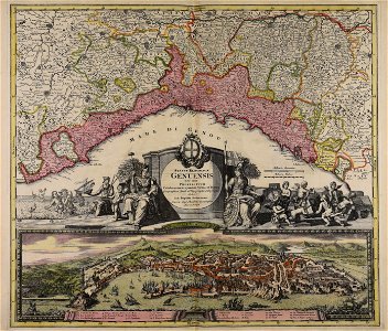
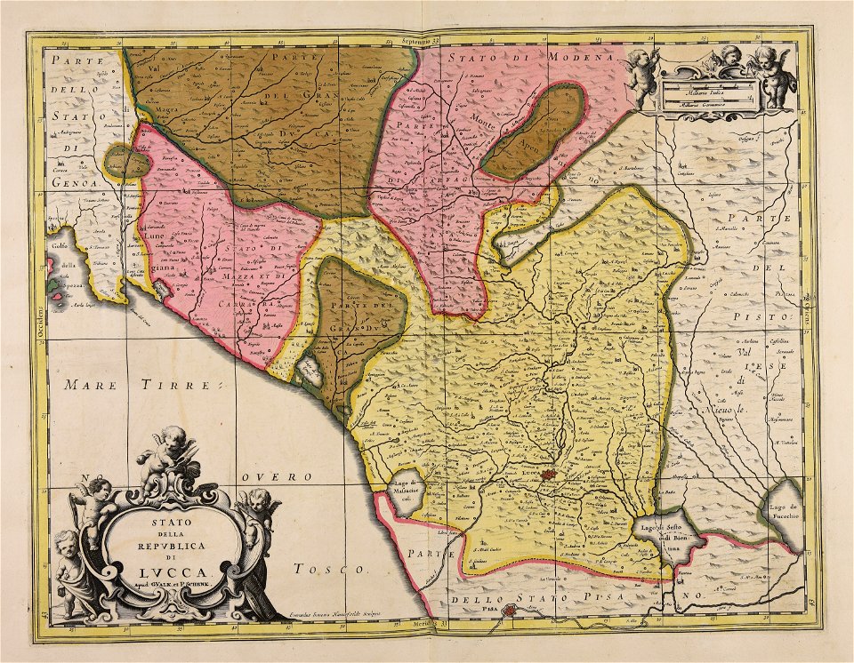
republic of lucca
gerard valck
atlantis magni tomus quartus (biblioteca comunale di trento)
maps made in the 17th century
prints from manesson travaux de mars at the peace palace library
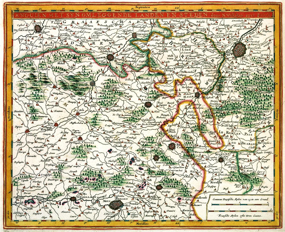
fortifications in belgium
maps made in the 17th century
jan janssonius
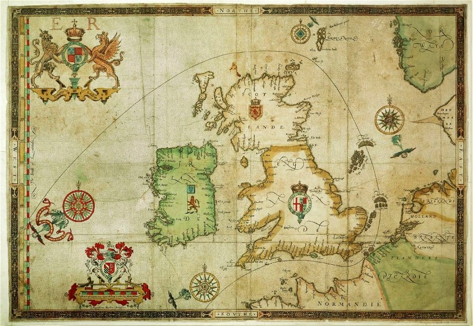
the track of the armada around britain and ireland
london
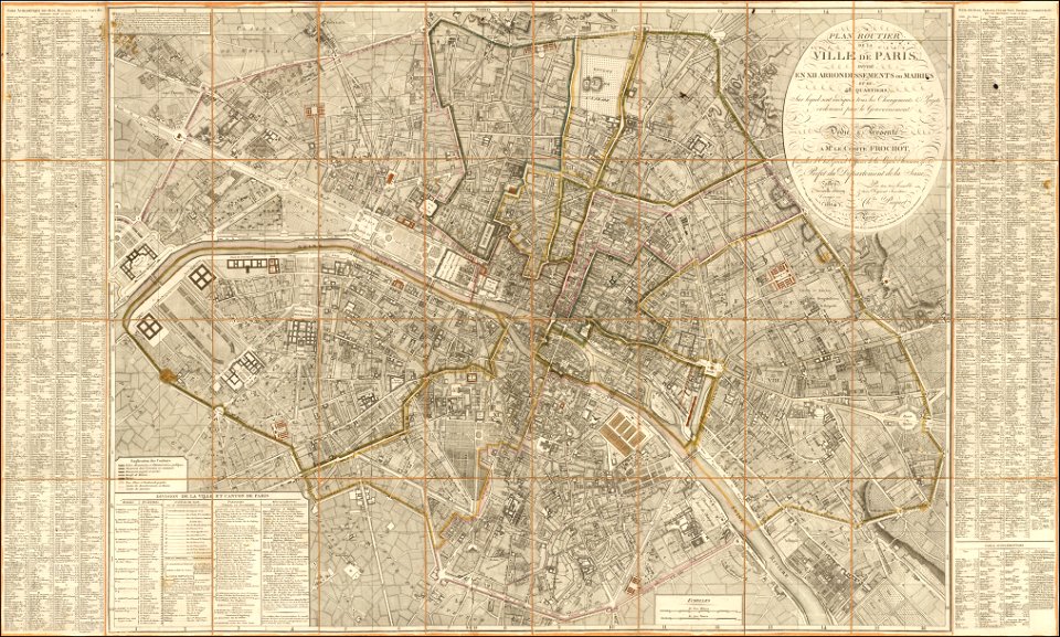
maps of paris from the barry lawrence ruderman antique maps inc.
1814 in paris
bibliotheque nationale ms fr. 2643
battle of sluys
maps made in the 17th century
old maps of europe
maps made in the 18th century
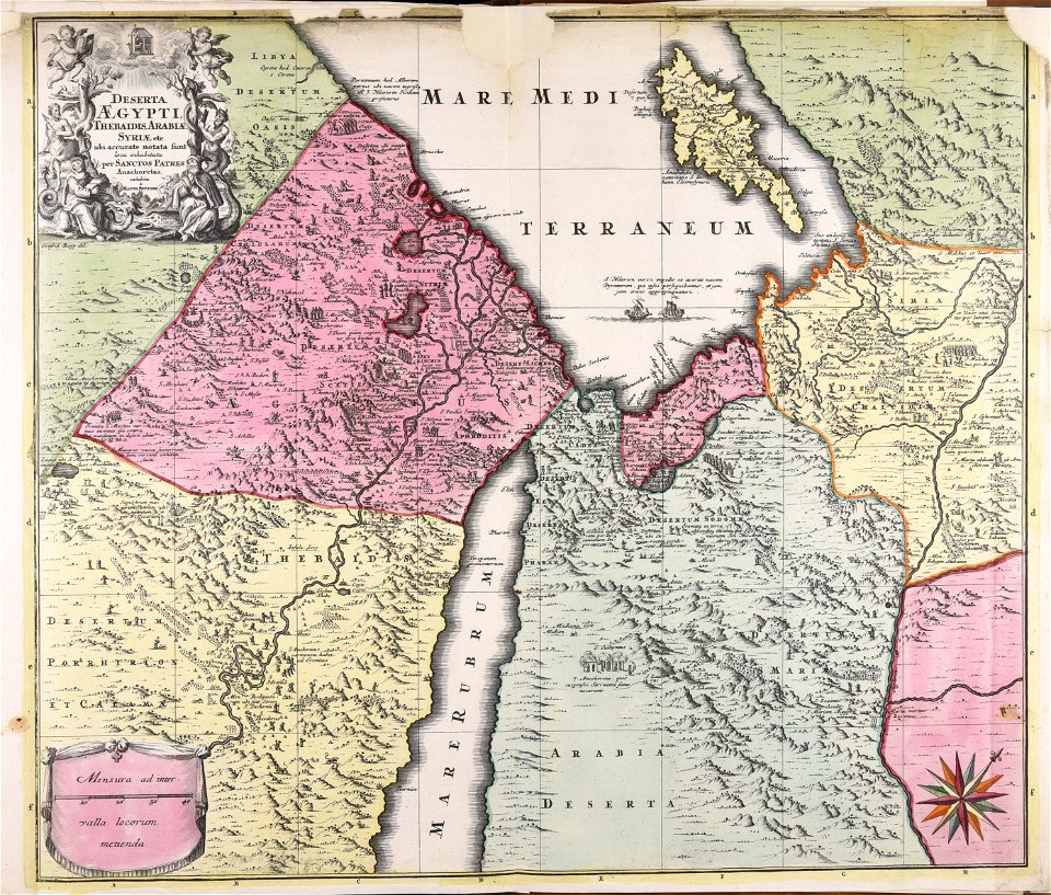
1720s maps of egypt
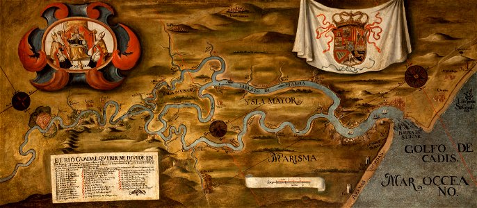
guadalquivir
1760 maps
maps made in the 18th century
gerard valck
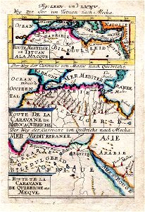
maps of the eastern mediterranean
bodleian library
maps made in the 17th century
cornelis danckerts (i)
maps made in the 17th century
jan janssonius
maps made in the 18th century
gerard valck
atlantis magni tomus tertius (biblioteca comunale di trento)
maps made in the 18th century
atlantis magni tomus primus (biblioteca comunale di trento)
maps made in the 17th century
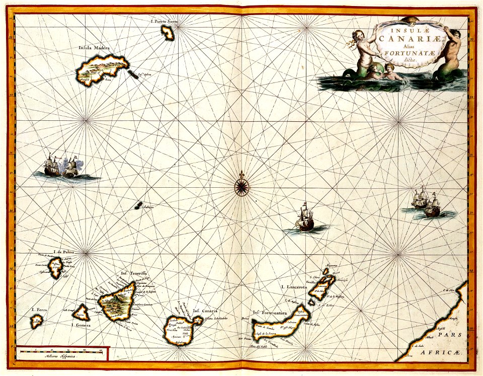
old maps of the canary islands
1667
maps with cartouches
copper engraving
17th-century maps of france
maps with cartouches
maps with cartouches
old maps of malta
maps with cartouches
atlas van der hagen
wagner & debes
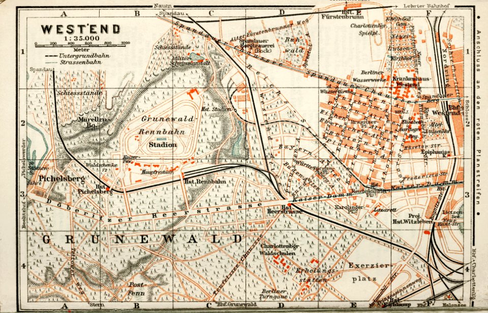
1914 in berlin
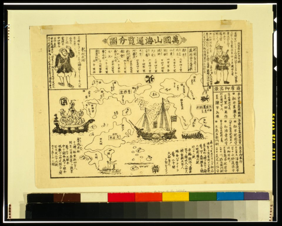
ukiyo-e by unknown artists
nagasaki-e
ukiyo-e by unknown artists
nagasaki-e
collections de la bibliothèque nationale et universitaire de strasbourg
matthias quad
5801 - 5900 of 1,095,865
Next page
/ 10959